

Earth Observation transforms how we understand our planet – powering climate resilience, safety, infrastructure stability, and strategic decision-making across civil, environmental, and security domains.
At the Technology Innovation Institute (TII), our Earth Observation (EO) team develops satellite-based analytics for environmental monitoring, maritime surveillance, infrastructure stability, and more. Using state-of-the-art remote sensing technologies and in-house AI-driven tools, we deliver real-time, actionable insights that support decision-making across key sectors.
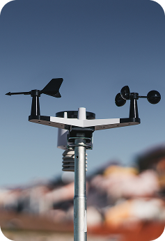
Combining cutting-edge science with real-world applications, our team ensures satellite data leads to impactful decisions.
Our multidisciplinary Earth Observation (EO) team combines expertise in remote sensing, photonics, AI, and geospatial analytics. We specialize in developing end-to-end pipelines integrating satellite imagery from optical, multispectral, SAR, LiDAR, and other sensors. Our solutions support critical national and international projects, empowering stakeholders with timely, accurate, and decision-ready data.

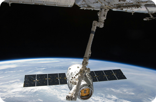
Real-time integration of land, sea, air, and space data—cross-correlated for complete situational awareness.
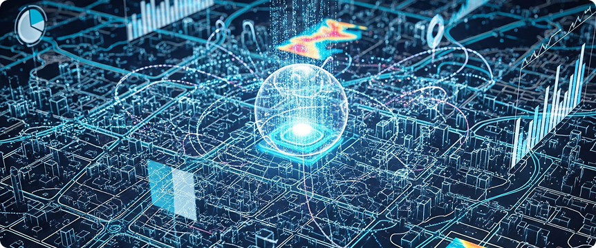
Target detection, SAR/spectral analysis, semantic segmentation, predictive analytics, anomaly detection, and 3D mapping.

Falcon LLM enables conversational intelligence, change detection, threat assessment, and AI-driven course-of-action recommendations.
3D geospatial environments, digital twins, immersive dashboards, and self-learning AI for evolving mission needs.
Extends existing GIS systems like Esri's ArcGIS or QGIS and supercharges your GIS infrastructure with Conversational AI.
TacticaAI is an AI-first solution that combines specialized AI agents. It easily integrates with additional business-related agents and interface with critical internal systems.
TacticaAI handles complex multi-step geospatial analysis, and synthesizes the results of multiple Machine Learning models into actionable insights.
Our advanced technology stack ensures accurate, scalable, and fast insights from space.
LiDAR data analysis
Multispectral + time series analysis
Object Detection/Classification – SAR
Object Detection/Classification - RGB
Interferometric SAR
GRACE analysis
AIS data analysis
Data Fusion
Change Detection
Thermal Imagery analysis
Image Segmentation
One-shot Object Detection
Detect, analyze, and respond to events in near real time.
Move beyond awareness to decision intelligence— recommendations and mission-specific AI agents.
Supports multi-lateral coalitions and cross-domain operations from environmental monitoring to defense intelligence.